How Drones Are Changing the Landscape of Archaeology
17 September 2025
Archaeology has always been a fascinating field. The idea of uncovering ancient civilizations and piecing together history from artifacts is like solving a massive, real-life puzzle. However, the tools and techniques used in archaeology haven’t always kept pace with modern technology. Enter drones—these buzzing little machines have been causing quite the stir in various industries, and archaeology is no exception. Drones are not just a passing trend; they’re revolutionizing how we explore, document, and understand our past.
But how exactly are drones changing the landscape of archaeology? Let’s dive into the ways these flying gadgets are making a difference, and why archaeologists are so excited to have them onboard.
A Bird’s Eye View—Literally!
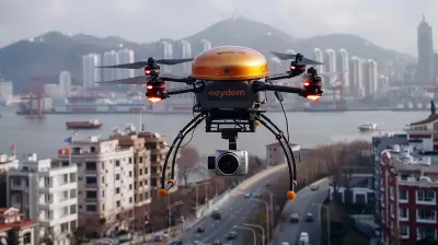
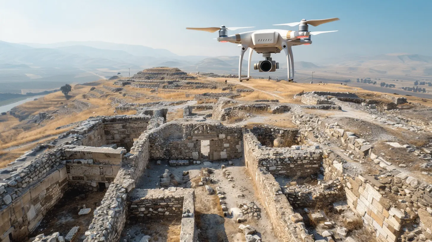
Traditionally, archaeologists would have to climb hills, mountains, or even hire helicopters to get a good aerial view of the land they were studying. This was time-consuming, expensive, and sometimes downright dangerous. With drones, all you need is a remote control and a clear sky. Drones can zip through the air and provide high-quality aerial images in a matter of minutes.Why is this so valuable? Well, imagine trying to map out an entire ancient city. Doing this from the ground would take weeks, maybe even months, and you'd likely miss out on key features hidden by vegetation or tricky terrain. From above, though, you can see patterns that are invisible from ground level—things like building foundations, old roads, and even irrigation systems.
Having this bird’s eye view helps archaeologists to plan their digs more efficiently. It’s like getting a sneak peek at the treasure map before you start digging for the gold.
Faster, More Accurate Site Mapping
Mapping archaeological sites used to be a painstaking process. You'd have to manually measure distances, mark boundaries, and sketch out the site by hand. Yes, it was as time-consuming as it sounds. And let’s be honest, human error was always lurking around the corner, ready to mess things up.But with drones, archaeologists can create detailed 3D maps of sites in record time. Using specialized software, drones can capture thousands of images from different angles and stitch them together to create a highly accurate map. This is called photogrammetry, and it’s a game-changer.
Not only do these 3D maps help archaeologists understand the layout of the site, but they also allow researchers to "visit" the site virtually from anywhere in the world. Imagine you’re an archaeologist sitting in your cozy office in New York, but you're virtually walking through a dig site in Egypt. How cool is that?
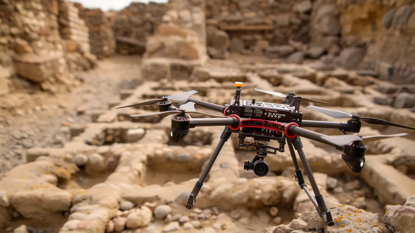
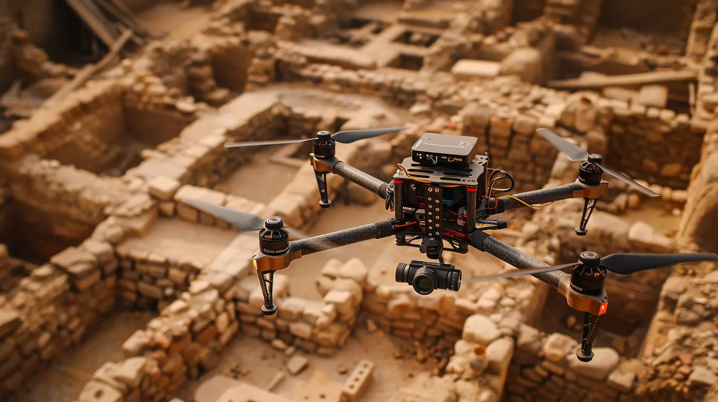
Uncovering Hidden Structures
One of the most exciting ways drones are changing archaeology is through the use of special sensors. Some drones are equipped with LiDAR (Light Detection and Ranging) technology, which is essentially like X-ray vision for the ground. LiDAR sends out laser pulses that bounce back to the drone, revealing what’s hiding beneath the surface.This is especially useful in areas like jungles or forests, where thick vegetation can hide ancient structures. In fact, LiDAR-equipped drones have already been responsible for some pretty incredible discoveries. In 2018, for example, archaeologists used LiDAR drones to discover more than 60,000 hidden Mayan ruins in the jungles of Guatemala. These ruins had been completely covered by trees, making them invisible to the naked eye for centuries.
With drones, archaeologists don’t have to rely solely on digging and excavation to find hidden structures. They can now “see” them before even breaking ground. It's almost like having a cheat code for archaeology.
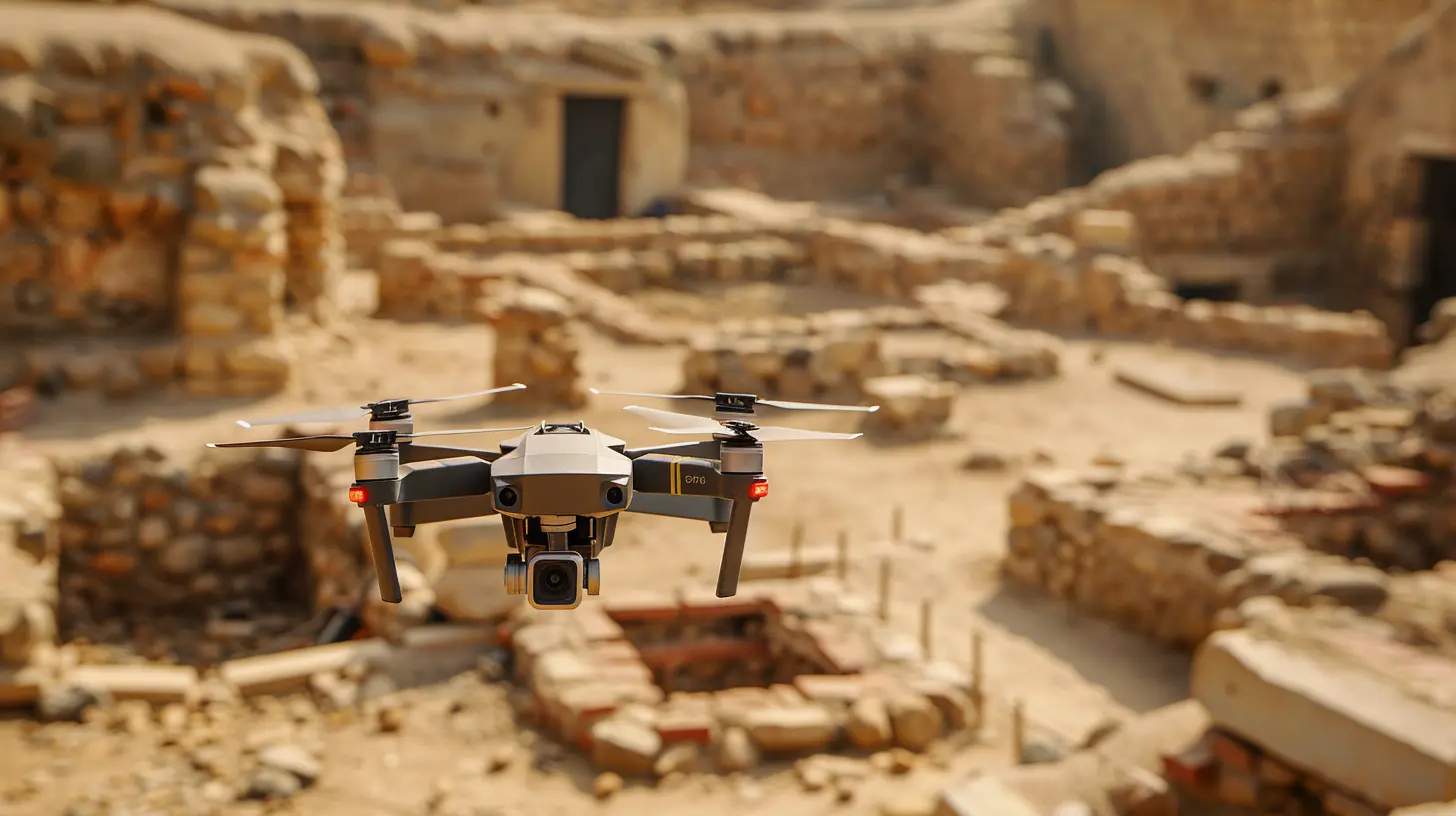
Preserving the Past for the Future
Let’s face it—digging up ancient ruins can be risky business. One wrong move and you could accidentally damage a priceless artifact or destroy an important piece of history. That's where drones come in handy again.Drones are being used to document archaeological sites in high-definition before any excavation takes place. By capturing detailed images and videos of the site, archaeologists can create an accurate digital record of how everything looked before they started digging. These digital records are crucial for future generations, especially if the site gets damaged or deteriorates over time.
In some cases, drones are even being used to monitor the condition of archaeological sites that are under threat from natural disasters, climate change, or human activity. For example, drones have been used to monitor ancient structures in Italy that are at risk of collapsing due to earthquakes. This kind of real-time monitoring allows archaeologists to take action before it's too late.
Accessibility and Affordability
Here’s another reason why drones are such a big deal in archaeology: they’re relatively affordable. Hiring a helicopter or satellite imaging service can cost thousands of dollars, but you can get a decent drone for a fraction of that cost. And once you’ve got the drone, you can use it as many times as you need without breaking the bank.This makes drone technology accessible even to smaller research teams or universities with limited funding. It levels the playing field and allows more people to participate in archaeological discoveries. It’s like giving everyone a key to unlock the secrets of the past.
Reducing the Environmental Impact
Traditional archaeological digs can be pretty invasive. Heavy machinery, large teams of people, and lots of digging can disrupt local ecosystems and wildlife. Drones, on the other hand, offer a much less invasive alternative.By using drones to survey and map sites, archaeologists can minimize the amount of digging they need to do. They can target specific areas that are most likely to yield important finds, rather than digging up the entire site. This reduces the environmental impact and helps to preserve the natural landscape around these ancient ruins.
Plus, drones are quiet and unobtrusive compared to helicopters or large excavation equipment. They can fly in, gather data, and fly out without disturbing the local wildlife. It’s a win-win for both archaeologists and the environment.
Speeding Up the Discovery Process
Let’s be real: archaeology can be slow. Like, really slow. Some digs take years, even decades, to complete. But with drones, the discovery process is speeding up exponentially.Because drones can cover large areas in a short amount of time, archaeologists can survey huge sites in just a few hours. This means they can focus their time and resources on the areas that are most likely to yield important finds, rather than spending months or even years combing through less promising locations.
In some cases, drones can even be programmed to fly autonomously, meaning they can gather data while the archaeologists focus on other tasks. It’s like having an extra pair of hands—or wings—on the team.
A New Era of Collaboration
Finally, drones are helping to foster a new era of collaboration in archaeology. Because drones can capture so much data in such a short amount of time, archaeologists from all over the world can now work together on projects without ever having to set foot on the same site.For example, a team of archaeologists in the United States could use drones to capture data from a site in South America, then share that data with a team of researchers in Europe. This kind of collaboration would have been almost impossible even a few decades ago, but with drones, it’s becoming the new normal.
And it’s not just archaeologists who are benefiting from this new era of collaboration. Historians, architects, and even computer scientists are getting in on the action, using drone data to create 3D models, virtual tours, and even virtual reality experiences of ancient sites.
Conclusion
Drones are more than just cool gadgets for capturing breathtaking aerial shots. They're fundamentally changing how archaeologists do their work. From speeding up the discovery process to uncovering hidden structures, drones are making archaeology faster, more efficient, and more accessible than ever before.In the past, archaeology was often seen as a slow, dusty, and somewhat mysterious field. But thanks to drones, it’s entering a new era of high-tech exploration. Whether it’s mapping ancient cities, monitoring threatened sites, or uncovering hidden ruins, drones are giving archaeologists the tools they need to unlock the secrets of the past in ways that were once unimaginable.
So, the next time you see a drone flying overhead, don’t just think of it as a toy or a tool for taking Instagram-worthy shots. Think of it as a window into the past, helping us to better understand where we’ve come from—and ultimately, where we’re headed.
all images in this post were generated using AI tools
Category:
DronesAuthor:

Adeline Taylor
Discussion
rate this article
2 comments
Primrose McElroy
Absolutely fascinating! It's incredible to see how drones are revolutionizing archaeology, revealing hidden treasures and providing new perspectives on ancient sites. This blend of technology and history not only enhances our understanding of the past but also inspires future discoveries. Can't wait to see what comes next!
March 28, 2026 at 2:04 PM
Adeline Taylor
Thank you for your enthusiasm! Drones truly are transforming archaeology in unprecedented ways, and I'm excited to see where this technology will take us next.
Nicole McAndrews
What an exciting read! It's fascinating to see how drones are revolutionizing archaeology, allowing us to uncover hidden histories from above. The blend of technology and ancient exploration truly makes it feel like we're living in the future. Can’t wait to see what’s next!
October 5, 2025 at 11:35 AM
Adeline Taylor
Thank you! I’m glad you enjoyed the article. It’s thrilling to witness how technology is transforming our understanding of the past!